What do you do if you have time, data and a good idea?
You map world cities by the geolocated images taken inside them.
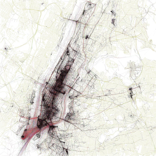
Eric Fischer has taken some of the largest cities in the world and used a density map to plot the locations of images posted to flickr and Picassa. The results are cool.
Leave a Reply